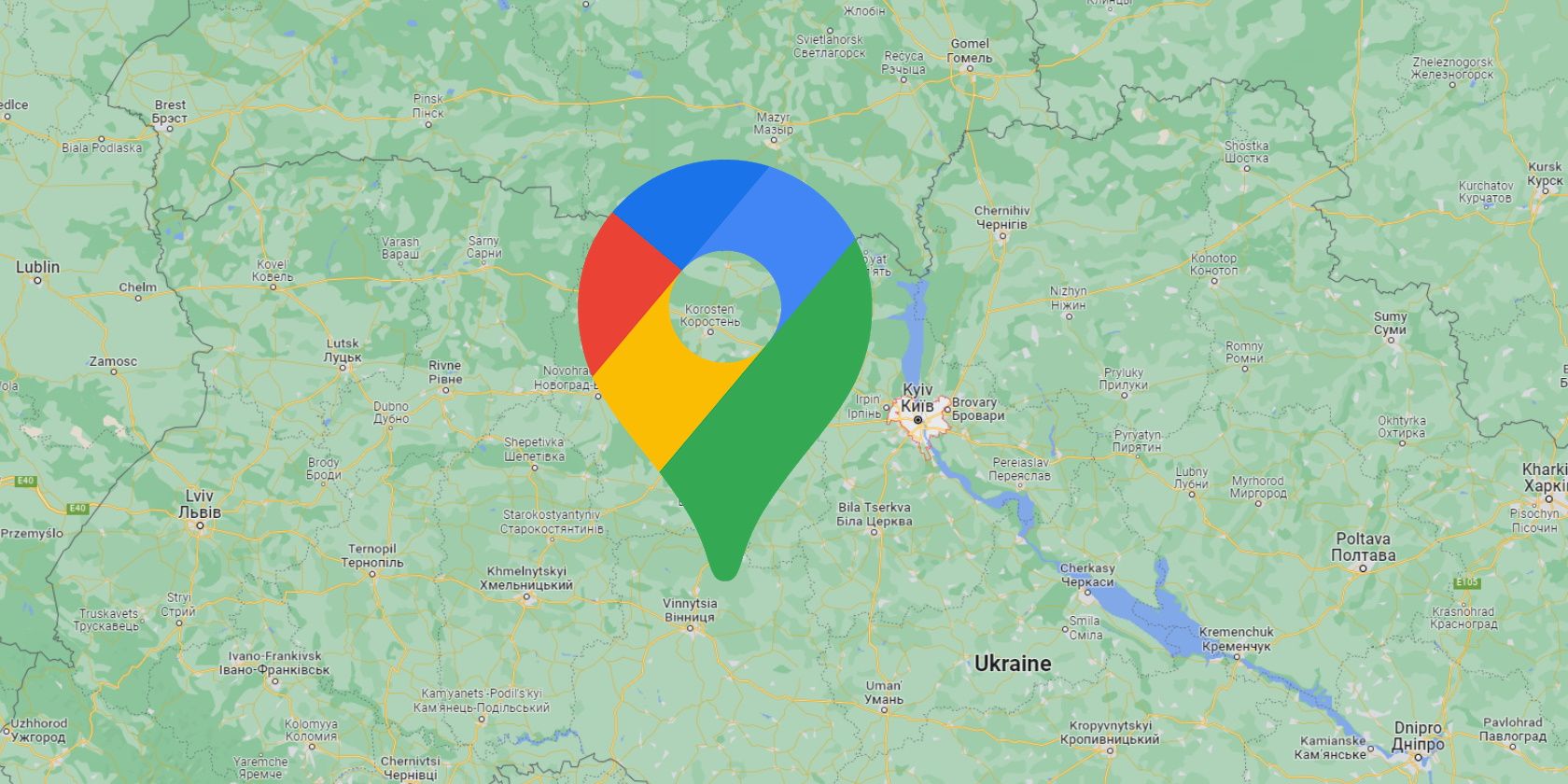
After consulting local authorities, Google's parent company, Alphabet, has decided to disable Google Maps' live traffic tool in Ukraine. The move comes after Russian forces entered the country to conduct what Vladimir Putin has called a "special military operation."Google's aim in limiting some features of the Maps app is to protect the safety and security of Ukrainian civilians.
Google Maps Temporarily Disables Some Features in Ukraine
On February 24, 2022, Dr. Jeffrey Lewis, an open-source intelligence (OSINT) expert, tweeted the first real signs of Russia's invasion of Ukraine.
Using a combination of Google Maps and satellite imagery, he was able to identify a build-up of traffic moving across the border from Belgorod in Russia to Ukraine before Russia's President officially declared the operation.
Google announced on February 27 that it would temporarily disable the live traffic and "busyness" tools from the app in Ukraine. This would prevent anyone from seeing busy areas like shops and restaurants or places where people are gathering on foot or in vehicles.
In an effort to confuse Russian troops, the Ukrainian government called for road signs to be dismantled, a day before some of Google Maps' tools were removed. However, drivers using Google Maps in Ukraine can still see live traffic information, download offline maps, and use Google's turn-by-turn navigation features.
Technology: A Hindrance or a Help?
While Ukraine and the rest of the world anticipated some form of invasion from Russia, it was through the use of radar pictures and satellite imagery taken by Capella Space and Google Maps that Jeffrey Lewis was able to spot the forward movement of the Russian military.
When used correctly, technology can provide invaluable information capable of protecting communities like those in Ukraine. However, there's always a danger of that same information being used to do harm, hence, why Google has limited some Maps features in the area.

