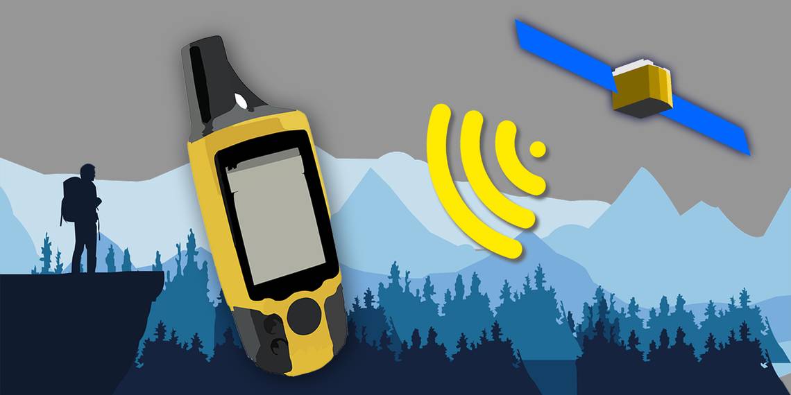


When going on an outdoor adventure, it's always wise to come prepared with appropriate equipment. And one such essential device you should have is a handheld GPS.
These devices will give you your exact location via satellite tracking. Furthermore, some units have extra features like satellite communications.
So before heading out into the wild, here are the best handheld GPS devices you can buy today.


Those who love the outdoors will surely appreciate the Garmin GPSMAP 66i. Not only does it let you navigate wherever you want to go, but it also enables you to communicate globally, even if you're beyond the reach of cellular service.
Besides the preloaded US and Canada TopoActive maps on the device, you can further enhance this with the downloadable Birdseye satellite imagery. You can then use this to help you better navigate visually, allowing you to locate landmarks quickly.
Best of all, you can rely on this GPS device no matter what you put it through. It's built to withstand MIL-STD-810 thermal, shock, and water protection standards, ensuring you can navigate despite the extremes of the wilderness.
- With built-in altimeter for elevation, barometer for weather, and compass for direction
- Directly download Birdseye satellite imagery to easily find your bearings
- Comes preloaded with TopoActive maps of the US and Canada
- Brand: Garmin
- Connectivity: Bluetooth, Wi-Fi, ANT+, inReach Satellite Communications
- Integrations: GPS, Galileo, Barometric Altimeter, Compass
- Battery: Up to 200 hours
- Weight: 8.1oz
- Capacity: 16GB
- Dimensions: 2.5 x 6.4 x 1.4 inches
- Supports both GPS and Galileo for better reliability
- Optional satellite subscription for global communication
- Rugged build complies with MIL-STD-810 thermal, shock, and water protection
- Expensive


As most people already have a capable mobile device for general navigation, getting a stand-alone handheld GPS device may seem redundant, especially if you use it sparingly. However, using all these various sensors on your smartphone can be taxing on battery consumption That's where the Bad Elf 2200 GPS Pro comes in.
This Bluetooth-enabled GPS device connects up to five different gadgets, letting you switch off all other sensors, thus saving battery power. The receiver also has a small display showing your speed, heading, altitude, and GPS status. It's compatible with both iOS and Android devices, so no matter what device you're using, you can find your way around.
Also, you don't have to worry even if it rains, as this handheld GPS is IPX4 rated. And should you wish to track your movements even without a phone, you can do so with its data logging feature.
- Connects up to five devices simultaneously
- Displays speed, heading, altitude, and GPS status on the device screen
- Compatible with most Android and iOS devices
- Brand: Bad Elf
- Connectivity: Bluetooth
- Integrations: GPS, SBAS
- Battery: Up to 16 hours
- Weight: 3.2oz
- Capacity: 64MB
- Dimensions: 3.0 x 2.4 x 0.7 inches
- IPX4 water resistant
- Large, brilliant LCD screen shows information clearly
- Data logging feature records location history
- Requires a third-party device for navigation


If you're on a budget but still need a navigation device, you can rely on the Garmin eTrex 10. This no-frills GPS navigator will give you reliable and accurate directions wherever you are. It achieves this by simultaneously tracking on both GPS and GLONASS satellite constellations. It also uses Wide Area Augmentation Systems and HotFix satellite prediction technology to ensure continuous contact with navigation satellites.
The device itself is IPX7 rated, ensuring it's tough enough to withstand the rigors of the wilderness. And for power, this GPS handheld uses easy-to-find AA-sized batteries, so you can easily carry replacements with you.
To ensure a smooth trip, the eTrex 10 is compatible with BaseCamp trip planning software. That way, you can see where you're going even before you set out from your home base. And if you're up for some fun, you can open GPX files on this device for geocaching.
- Tracks both GPS and GLONASS satellite constellations simultaneously
- Compatible with BaseCamp software for trip planning
- Uses Wide Area Augmentation Systems and HotFix satellite prediction for satellite connection reliability
- Brand: Garmin
- Connectivity: N/A
- Integrations: GPS, GLONASS, GPS Compass
- Battery: Up to 25 hours
- Weight: 5oz
- Capacity: Up to 10,000 points
- Dimensions: 2.1 x 4.0 x 1.3 inches
- Powered by two easy-to-replace AA-size batteries
- Compatible with GPX files for geocaching
- IPX7 rated for toughness and water resistance
- Only equipped with a monochrome display
4. Garmin GPSMAP 78


Handheld GPS devices are useful on both land and water. However, navigating lakes, waterways, and seas requires a different approach. So if you're into boating and other watersports, you should consider the Garmin GPSMAP 78. This device is designed for use on the water, with its IPX7 rating and floating characteristic.
It also has molded rubber side grips, ensuring you can hold it securely, even if you're wet. Best of all, this handheld is powered by two readily available AA-sized batteries, so it's easy to bring spares around with you.
While the GPSMAP 78 comes with a worldwide base map, you can purchase additional specialized maps like the BlueChart g2 to install via microSD cards. You also get built-in outdoor recreation apps, like area calculation, hunt and fish calendars, geocaching, and more.
- IPX7 rated and floats on water
- Comes with a built-in worldwide basemap
- With a microSD slot for loading additional maps and charts
- Brand: Garmin
- Connectivity: N/A
- Integrations: GPS
- Battery: Up to 20 hours
- Weight: 7.7oz
- Capacity: 1.7GB
- Dimensions: 2.6 x 6.0 x 1.2 inches
- Rubberized grips make it easy to hold, even when wet
- Powered by two readily available AA-sized batteries
- Includes area calculation, hunt and fish calendar, geocaching, and other outdoor recreation apps
- Detailed maps are sold separately
5. Garmin Montana 700


Looking at maps and navigating through them can be difficult if your handheld has a small display. Luckily, the Garmin Montana 700 comes with a colossal five-inch display, letting you quickly find your location and other landmarks at a glance. And despite it coming with a prominent touchscreen, the Montana 700 is tested to MIL-STD-810 toughness standards and is also IPX7 water-resistant.
This ensures that your handheld can withstand whatever you put it through. The device itself is powered by a lithium-ion battery that lasts up to 18 hours of use. And if you want extra power, you purchase the option AA battery adapter and use three AA-sized batteries as a backup power source.
For extended journies, you can set it to Expedition mode, allowing it to last up to 330 hours on a single charge.
- IPX7 water-resistant and tested to US military standards MIL-STD-810
- Displays accurate public land boundaries to avoid potential conflict
- Built-in altimeter, barometer, and compass sensors give you more information to keep you safe
- Brand: Garmin
- Connectivity: Bluetooth, Wi-Fi, ANT+
- Integrations: GPS, GLONASS, Galileo, Barometric Altimeter, Compass
- Battery: Up to 18 hours
- Weight: 14.0oz
- Capacity: 16GB
- Dimensions: 3.4 x 7.2 x 1.3 inches
- Supports GPS, GLONASS, and Galileo satellite constellations
- Optional AA battery pack gives you more power options
- Expedition mode lets the device last up to 330 hours on a single charge
- Large device might be difficult to hold for some users
6. Magellan eXplorist 350H


It's not just trekkers and trail bikers that require accurate navigation. If you're a hunter who likes going out in the field to find elusive game, you need a reliable navigation device to locate your prey while keeping you safe.
The Magellan eXplorist 350H is specifically designed for this application. It comes preloaded with detailed maps, allowing you to quickly find road networks, water bodies, and trails, check for directions to road networks and city centers, and more.
You will also find hunter-specific features, like Boundary Alerts, warning you if you're about to enter or leave a hunting zone, and Navigate Back to Start, where the device leaves a digital track, letting you easily return to your starting point.
- Rugged and waterproof, with IPX7 protection rating
- Built-in hunt calendar shows legal hunting hours and recommended hunt times
- Comes preloaded with detailed maps that show the complete road network, water bodies, trails, contour elevation, and more
- Brand: Magellan
- Connectivity: N/A
- Integrations: GPS
- Battery: Up to 18 hours
- Weight: 5.3oz
- Capacity: N/A
- Dimensions: 5.8 x 2.44 x 5.7 inches
- Boundary Alerts notify you if you approach or leave a hunting zone
- Uses two AA-size batteries available in convenience stores nationwide
- Navigate Back to Start feature leaves a digital track to follow for returning to your start point
- Not as useful for other outdoor applications
7. Garmin eTrex 32x


When you like to follow tracks and paths, you will appreciate the Garmin eTrex 32x. It comes preloaded with TopoActive maps that route you through roads and trails. And if you're into geocaching, you can also load GPX files directly into the 32x, allowing you to get into your adventure without needing paper.
For better navigation reliability, this GPS handheld connects to both GPS and GLONASS satellite constellations. It also has a built-in compass and barometric altimeter, so you'll have an easier time finding your bearings. This handheld GPS has a bright 2.2-inch color display that's easy to read even if viewed under the sun.
Despite that, that device lasts up to 25 hours on two AA-sized batteries. And if you run out of power, you can simply head on to the nearest convenience store to get replacements.
- Uses a 2.2-inch color display bright enough to be read even under the sun
- Pre-loaded TopoActive maps
- GPS and GLONASS satellite constellations
- Brand: Garmin
- Connectivity: ANT+
- Integrations: GPS, GLONASS, Barometric Altimeter, Compass
- Battery: Up to 25 hours
- Weight: 5oz
- Capacity: 8GB
- Dimensions: 2.1 x 4.0 x 1.3 inches
- Built-in compass and barometric altimeter for easier navigation
- Supports GPX files for paperless geocaching
- Lasts up to 25 hours using two AA batteries
- Doesn't support Wi-Fi or Bluetooth
FAQ
Q: Is a Handheld GPS Worth It?
Yes, handheld GPS devices are more accurate than phones, especially if you're in an area with spotty or no cellular service. Furthermore, most GPS devices are tougher and more rugged than most smartphones, so you're that it can last through the most demanding of expeditions.
Q: Do You Need a GPS Device When You're Hiking?
When you're in a sparsely populated area, you run the risk of getting lost, especially if you're not familiar with the region. This can be dangerous, especially if there are wild animals around or if the weather sets in. That's why a handheld GPS, even a simple one, is crucial if you're going around in the backcountry.
Q: What Are the Types of Navigation?
There were only two ways to navigate in the past—the first is celestial navigation, where you use the stars as references to find your bearing and location. The second way is through the use of a compass and some maps.
However, with the development of GPS technology, you can now use a receiver and multiple orbiting satellites to find your way around. Nevertheless, it's still good to know at least one other type of navigation, like using a map and compass. That way, in case technology fails you, you have an analog backup.