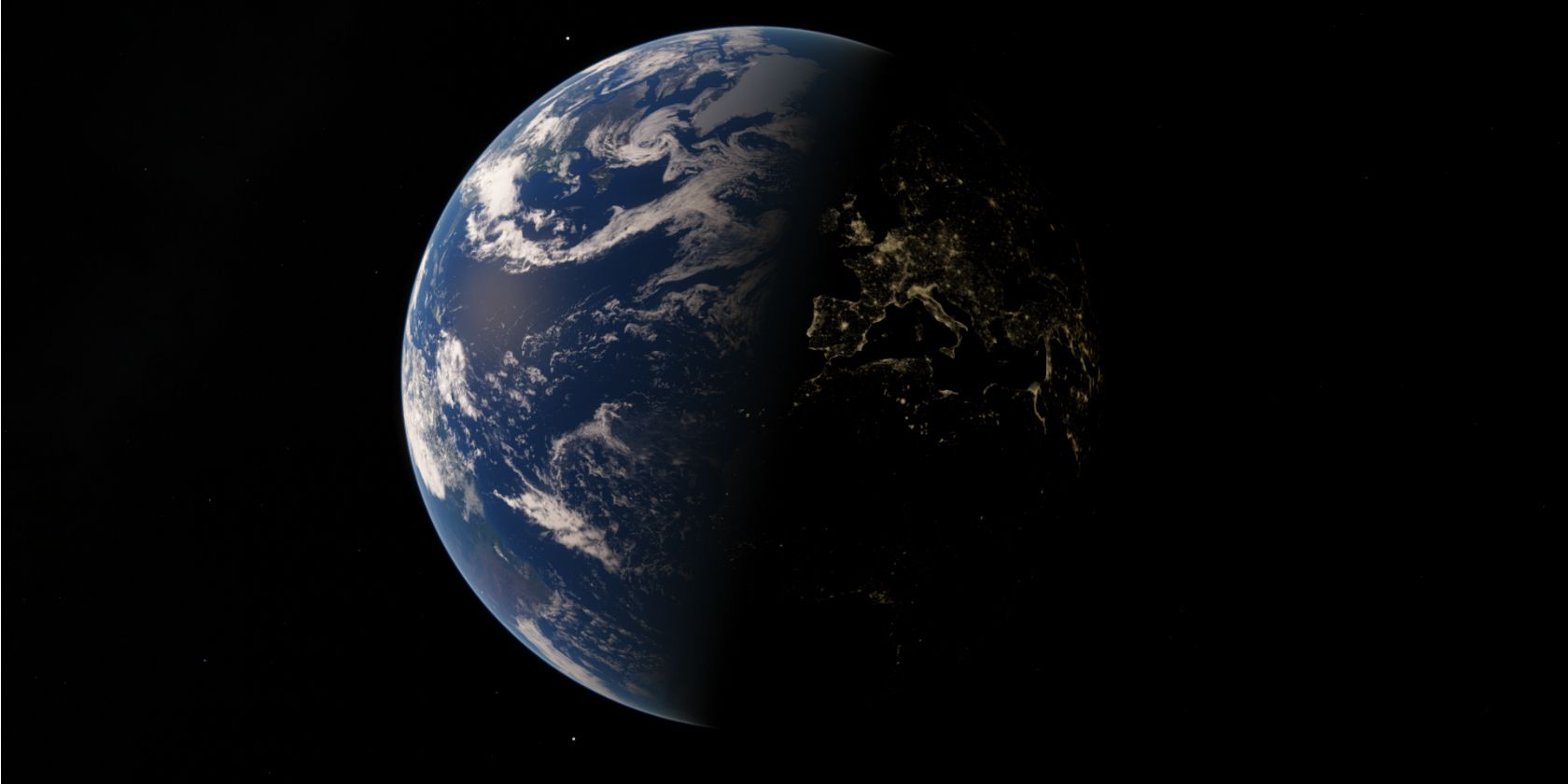
Have you ever noticed that our world is a convergence of geometric shapes? If you haven't then fire up Google Earth and look at the world from up above.
Geometric shapes often go unnoticed. But an interesting Chrome experiment will help you fuse different shapes and see how common they are all around us. And it will enable you to go around the world in a more interesting way.
Drag and Draw to Explore the World
Land Lines is a Chrome experiment that lets you explore Google Earth's satellite imagery.
As the name says, you just have to use your fingers (or the mouse) to draw gestures on the computer or mobile screen. There are two gestures you can perform to visualize Google Earth satellite imagery in different ways:
- "Draw" to find satellite images that match your every line.
- "Drag" to create an infinite line of connected rivers, highways, and coastlines.
You can't jump to any place on the Earth. Only a special subset of 50,000 images have been selected from the entire Google Earth satellite images library -- but the selected images are the most interesting ones and should help you see our world in a new light.
How Does It Work?
Arguably, you will be more interested in the beauty of it rather than the technical wizardry behind it. But as it's a Chrome experiment, you may as well learn how it works.
According to the developers, machine learning and line-detection algorithms were used to preprocess all images and identify dominant lines. This enabled the analysis of brushstrokes and efficient retrieval of matching images without the need for a server.
There is no backend server processing involved here. This is what your graphics card (on both your desktop and mobile) and special algorithms can do when they can be made to work together so seamlessly.
How interesting is this Google Chrome Experiment? Which is your favorite Chrome Experiment of them all?

