Create beautiful maps of your favorite places, then download high-resolution copies of them. Whether you want a water colour outline of the city you recently visited or a detailed grid of your hometown, CityTracking.org's Map To Image is a simple web-app allowing you to turn your favorite places into art.
Sure, you could compile screenshots from Bing or Google Maps to make your own images, but Map to Image makes the process simple. Even better, the site includes a variety of stunning styles that can make any location into a work of art. From simple outlines you can easily place into other contexts to beautiful watercolors, Map To Image is the perfect tool for making beautiful maps you'll love to look at. It's an amazing resource, and one that you can use for your own artistic endeavors.
Making Beautiful Maps
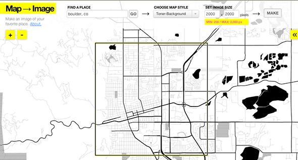
Head to Map to Image's webpage and you can get started immediately. Begin by typing the name of the place you'd like to make a map of, then start tweaking the settings:
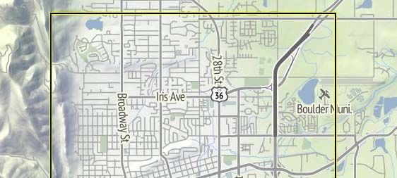
As you can see you can set the frame to be whatever size you want, up to 2,000 by 2,000 pixels. You can also pick how the maps look. Above I'm using "Toner", but you can also create a map using "Terrain". Here's how that looks:
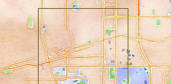
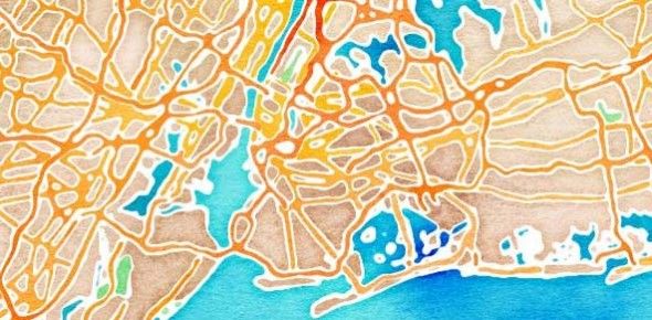
You can explore the different settings all you want, but be sure not to miss "watercolor". This amazing setting somehow turns any location into a work of art, so don't miss it. Here again is Boulder:
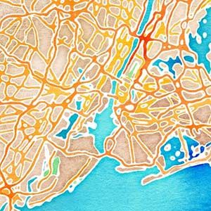
Western towns like Boulder can look a little stark here – too many straight lines. So here's how New York City looks using the same setting:
Zoom and change settings and you'll eventually find a map you like - or that you can use.
Once you've found the location, settings and size you like you need only click the "Make" button. When you do the service will get to work creating your image, a download of which will be offered quickly. You'll also get a chance to explore maps created by other users, so check that out. You might stumble upon something you like.
Cool Uses
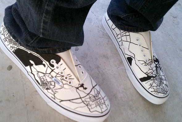
The images this service creates aren't just cool - they're potentially useful for creative endeavors. On the CityTracking blog you'll find these custom sneakers, imprinted with a map:
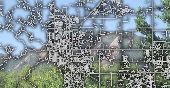
You can also use these maps to quickly create things yourself. In less then five minutes I put this map of my town together, complete with an image of our iconic rock formation, the Flatirons:
It's quick, but you get the idea: there's potential here. Take advantage of it and create something cool, ideally showing off some aspect of where you live.
Here are a few other we've outlined:
- Five Ways To See Your Facebook Friends On A World Map
- Issue Map: Create a Map From Excel or CSV Data
- Animaps: create Animated Maps Quickly
- CartoDB: Create Dynamic Maps With Your Data
What will you create with these maps? I'm curious, so fill me in in the comments below. Also feel free to point me toward any other cool apps for making maps, because I love finding them. Oh, and if you're a Mac user, check out Satellite Eyes. This turns your desktop into a map, and supports using the filters offered by Maps To Images.

