Do you know you can find anything on a map these days? Columbus might have disagreed, but aren’t maps made for that very purpose? Well, I was talking more along the lines of finding offbeat things like CIA secret prisons to free beer (ok nix that last one…it’s more in my imagination!). But thanks to the Google Maps API and innovative minds, we have a glut of mashups detailing everything on a map.
Think of anything and you can be pretty sure that there’s a map out there for it. All the more better, because it just makes it easy to get the driving directions if you intend to follow it. If you think that map mashups are all concentrated around travel, you would be pretty off the mark.
Check out the examples below. There’s a medley out there. Here are ten of the more unique Google Maps mashups you can put a pin on.
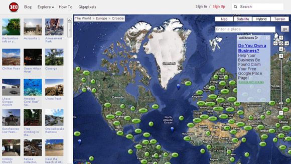
360 Cities
This is a great spot for armchair travelers to park themselves. It could be one of the better collections of panoramic immersive photography on the web. The World Panorama Map uses geo-referenced spots on a Google Map to take you on a panoramic tour around the world. You can also view 360 Cities on the photo layer of Google Earth. The high-resolution photos are a delight. We have covered this cool mashup in our previous look at 8 Panorama Websites For A 360 Degree Virtual Tour Around The World.
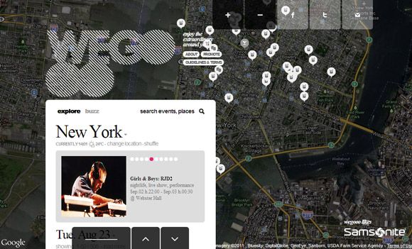
Weegoo
Weegoo is a visually attractive site that combines social feed and events on a Google Map. The mashup allows you to search for events by typing in the location. You can share events and social dos via Facebook, Twitter, and email.
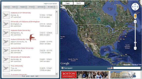
Campus Bird [No Longer Available]
Campus Bird is an interactive 3-D school search tool based on Google Maps and. You can search for schools by name, location, scene, weather, school size, and more. Campus Bird provides in depth profiles of more than 4800 schools and hundreds in 3-D. The site is also building up 3-D tours of schools and colleges around the United States.
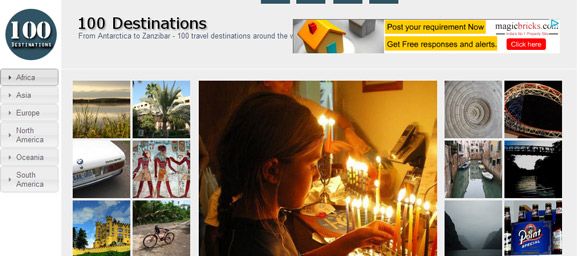
100 Destinations
This is a simple and neat site which uses photos from major travel spots around the around and integrates them with tweets and a Google Map. The photos are attractive and are sourced from contributors and Creative Commons licenses. You can click on a photo and dive into the travel details or search by location from the sidebar.
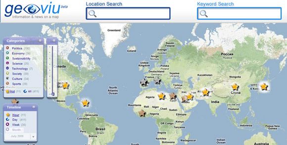
Geoviu
Read news in various broad categories on a Google Map. You can zoom in on a particular location and read the local news. All news comes from reputed mouthpieces like CNN and BBC. You can also use the timeline to read about past events too.
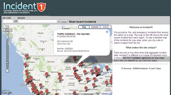
Incident1
The US centric Google Map mashup puts all incidents of police alarms, fire, and emergency events from around the nation on a map. The map captures the data from multiple agencies on one map, and it lets you search by zip code and region.
This hasn't been updated in a while, so it serves more as a demonstration.
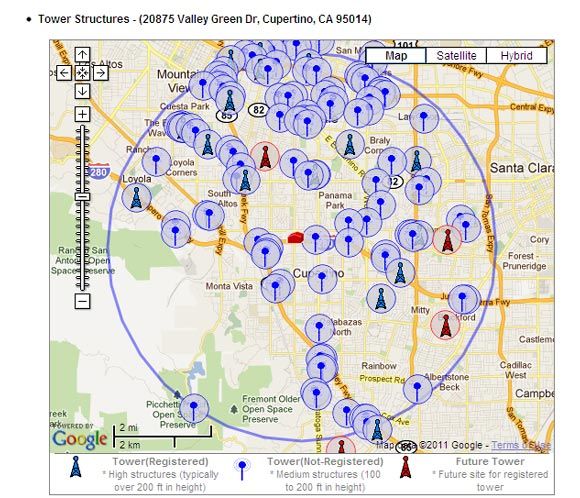
Antenna Search
This site uses Google Maps to display detailed information on nearly 1.9 million towers and antennas in the U.S. Cellular, paging, and microwave towers are covered. Towers that may come up in the near future are also shown with a different marker on the map. The map is useful for checking your call reception quality or planning your travel to places where one cellular network may not be as prominent as the other. You can search with a specific address or just type in the zip code. Commonly a 4 mile radius is used to plot the towers. You can also take a look at Call Reception, another similar mashup.
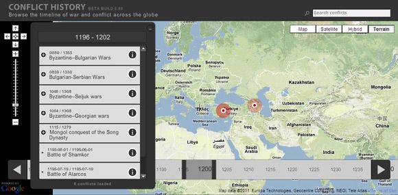
Conflict History
Conflict History is an interactive timeline of world history. The map highlights the major wars and battles that have taken place across the millennia. The information comes from Wikipedia. You can use the slider to set the period of a conflict and then click on the hotspots.
Meetways
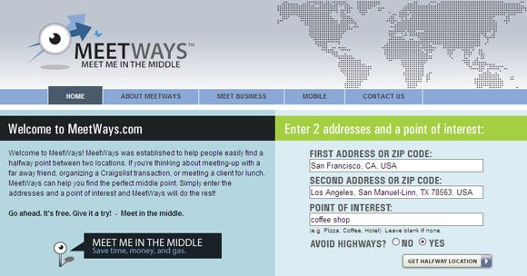
This unique app suggests halfway meeting points between two addresses. You can enter two locations and let the Google Maps based app suggest points of interest between the two. It could be a café, a restaurant, hotels etc. You can suggest the type of meeting place or leave it blank. You can also use it for non-meeting related route planning…for instance, search for places to rest and recreate when on a journey or while returning home from work. Meetways works for locations in 35 countries.
Big Doodles
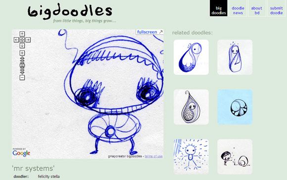
You can take this Google Maps mashup seriously or just dismiss it. If you are a doodler, then you will opt for the former because the neat tool takes a doodle and put it on a Google Maps interface so you can zoom in and zoom out to examine the brushstrokes. You can explore the doodles in fun way, just as you would look at something on a Google Map.
Google Maps (and also other map APIs) have opened up potentially useful and fun ways to look at maps from other angles. Mashups are only limited by creativity. Which is a mashup you would like to see happen? Maybe, it’s already out there. Tell us in the comments.


