It may not be the real thing, but using your browser to virtually travel the world is fun. Google Maps has powerful uses apart from helping us not lose our way.
You wouldn’t get to see all the stunning places on our big blue planet. Some of them might not be travel spots in that sense, but simply strange oddities dotted around the globe. That’s why you should switch on Google Maps and its Satellite View to catch a bird’s eye glimpse of wonders caught by roving satellites in the sky.
Here are some of our favorite picks.
1. World’s Largest Airport Terminal

The Daxing International Airport is the world's largest airport terminal. Imagine it as 98 soccer fields and you will get an idea of its enormous size. Even if you land there, you won't be able to cover it or check out its architecture. The best way to do that is with this bird's eye view on Google Maps.
Interesting Fact: It is also the world's largest single terminal airport.
2. Palm Island, Dubai

This artificial archipelago and its view from the sky is remarkable. Thanks to Google Maps Satellite View, you can understand exactly what went into the name.
Palm Jumeirah, Deira Islands, and Palm Jebel Ali make up the trio of islands. Palm Jumeirah is the only completed one so far. Catch them too from up above.
Interesting Fact: Palm Jumeirah alone cost $12 Billion and six years to build.
3. The Empire State Building

One of the world’s most iconic buildings should be on your actual list of places to visit before you die. Google Maps Satellite View doesn’t do it justice, but it’s the closest you are going to get without spending on a plane ticket.
You might not get the Art Deco style of its architecture, but you should get why it ranks among the modern Seven Wonders of The World list. And you can half expect to see King Kong swatting a few planes from up there.
Interesting Fact: A 84-foot King Kong balloon was attached to the building to celebrate the 50th anniversary of the 1933 film. But the stunt failed when the balloon got a tear.
4. Wolf Creek Meteorite Crater

The Wolf Creek meteorite crater in Australia is 875 meters in diameter. It is far smaller than the massive Vredefort crater located in South Africa which has a diameter of 300 km, but Wolf Creek looks nakedly like a crater is supposed to look from up above and that’s impressive.
Interesting Fact: The second largest crater in the world was only discovered in 1947.
5. Celebrity Homes

We can’t gatecrash. But what’s to stop a satellite clicking celebrity houses from up above. Let’s visit (or land) at John Travolta’s house. He has his own Jumbo jet and that needs a parking spot plus a runway on the property! How freaking awesome can it get?
Interesting Fact: The house is part of the Jumbolair Aviation Estate with two private runways.
6. World’s Largest Graveyard for Aircrafts

Located at Davis-Monthan Air Force Base in Tucson, Arizona, the “Boneyard” is the final resting place for thousands of derelict cargo and fighter jets stretching over four square miles and housing over 4000 aircraft of all types. It could also lay claim to being the world’s largest salvage facility.
Interesting Fact: Dry desert heat is perfect for their preservation and planes are also specially coated to prevent corrosion.
7. Apple New Campus

There's something about large symmetrical objects when viewed from heights. The new Apple Campus at Cupertino qualifies. The campus headquarters of Apple Inc. is dubbed "The Spaceship" and the circular design comes close to that. It is only four stories in height but spread across 260,000 square meters.
Interesting Fact: The outer walls are covered by the biggest pieces of curved glass in the world.
8. The Colosseum

This site for Rome's epic gladiatorial contests has a bloody and cruel history. But even with the hindsight of history, it is a magnificent architectural example, and you can catch its imperial glory with Google's satellite image.
Interesting Fact: It is the largest amphitheater in the world.
9. Stonehenge

Just a bunch of rocks or something more? That's the intriguing puzzle about Stonehenge. It looks rather unremarkable when you are close to it. That's why the Google satellite image (though, it's a bit blurry) will help you get a better perspective and make you think about how it came to be there in 3100 B.C.
Interesting Fact: The stones have acoustic properties---they produce a loud clanging sound when struck.
10. Basílica de la Sagrada Família

Take a culture trip to Barcelona, Spain, and spot this famous basilica on Google Maps. Switch on Google Maps Satellite View and you can see it beautifully juxtaposed against the backdrop of perpendicular streets and colorful houses.
The church has remained unfinished through the centuries and today it is a UNESCO World Heritage Site.
Interesting Fact: When the basilica is completed, it would have taken more time than the Pyramids of Egypt.
Virtual Travel With Google Maps Satellite View
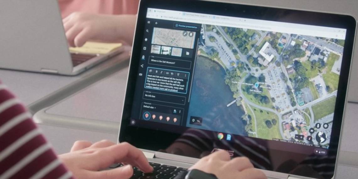
The Earth is a large place. These places are just some of the impressive spots you can capture with Google Maps Satellite View. Switch to Google Earth in your browser and you can travel virtually with detailed Google Earth Tour Guides. Google keeps adding new places, so your experience won't go stale.
Don't just stop there. You can even use fun geography quizzes and apps to learn more about the world we live in.